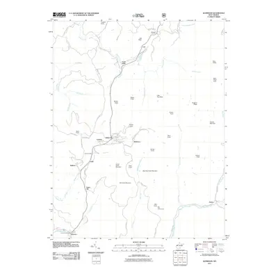
2011 Map of Quinwood
USGS Topo · Published 2011About this map
Quinwood and its neighboring coal-country settlements define this West Virginia landscape, where small communities like Marfrance, Crichton, and Leslie are concentrated along the winding course of Meadow Creek. The terrain is characterized by a dense network of ridges and knobs, including Laurel Creek Mountain and Mill Creek Mountain, which dictate the placement of roads and housing. This 2011 survey illustrates the continued importance of civic infrastructure in these tight-knit mountain towns, noting both the Leslie Post Office and the Charmco Post Office. Evidence of the area's high elevation and vantage points is found at the Rich Knob Lookout Tower to the south. The map provides a detailed view of local genealogy and land use, showing family-named landmarks like Coggins Knob and Huggins Ridge, alongside the Mountain Cemetery situated north of Carl.
Find a feature on this map
78 named features on this map. Tap any name to fly to it.
Don’t see what you’re looking for? This feature index may not catch every label — zoom into the map to look around manually.
Map Details
Editions of this 2011 Quinwood Map
This is the sole edition of this map. No revisions or reprints were ever made.
Other maps of this area

1887 · Hinton
USGS Topo · 1:125,000

1889 · Nicholas
USGS Topo · 1:125,000

1891 · Nicholas
USGS Topo · 1:125,000

1892 · Hinton
USGS Topo · 1:125,000

1901 · Nicholas
USGS Topo · 1:125,000

1912 · Meadow Creek
USGS Topo · 1:48,000

1914 · Winona
USGS Topo · 1:48,000

1915 · Meadow Creek
USGS Topo · 1:62,500

1916 · Winona
USGS Topo · 1:62,500

1918 · Richwood
USGS Topo · 1:62,500