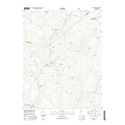
2016 Map of Quinwood
USGS Topo · Published 2016About this map
Quinwood and its neighboring coal-country settlements occupy a landscape defined by steep ridges and deep creek valleys along the border of Nicholas Co and Greenbrier Co. This 2016 survey illustrates a chain of small communities following the curves of Meadow Cr, including Crichton, Marfrance, and Leslie. The transition from industrial rail-and-trail infrastructure to the protected wilderness of the Monongahela National Forest is evident in the northeast corner, while the Meadow-Coalfield Trl traces the path of former commerce through Bellburn and Charmco. Local topography is meticulously detailed, naming numerous family and descriptive landmarks such as Peaser Knob, Pollock Mtn, and Huggins Ridge. These elevations hem in the drainage basins of Hominy Cr and Laurel Cr, shaping the historical settlement patterns of the region.
Find a feature on this map
86 named features on this map. Tap any name to fly to it.
Don’t see what you’re looking for? This feature index may not catch every label — zoom into the map to look around manually.
Map Details
Editions of this 2016 Quinwood Map
This is the sole edition of this map. No revisions or reprints were ever made.
Other maps of this area

1887 · Hinton
USGS Topo · 1:125,000

1889 · Nicholas
USGS Topo · 1:125,000

1891 · Nicholas
USGS Topo · 1:125,000

1892 · Hinton
USGS Topo · 1:125,000

1901 · Nicholas
USGS Topo · 1:125,000

1912 · Meadow Creek
USGS Topo · 1:48,000

1914 · Winona
USGS Topo · 1:48,000

1915 · Meadow Creek
USGS Topo · 1:62,500

1916 · Winona
USGS Topo · 1:62,500

1918 · Richwood
USGS Topo · 1:62,500