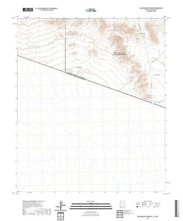
2021 Map of Quitobaquito Springs
USGS Topo · Published 2021About this map
The United States of America Estados Unidos Mexicanos international border bisects this arid landscape, creating a stark line between the protected lands of the Organ Pipe Cactus National Monument and the open terrain to the south. Historically significant water sources define the area's geography, particularly Quitobaquito Springs and Aguajita Spring, which have served as vital lifelines in the Sonoran Desert for generations. To the west, the Cabeza Prieta National Wildlife Refuge borders the monument, preserving a contiguous corridor of wilderness. The topographic detail highlights the Quitobaquito Hills and Cipriano Hills, with the latter featuring Cipriano Pass. Primitive transit routes like the Pozo Nuevo Road and Quitobaquito Spring Rd provide the primary access to these remote desert landmarks and seasonal washes such as Aguajita Wash.
Find a feature on this map
23 named features on this map. Tap any name to fly to it.
Don’t see what you’re looking for? This feature index may not catch every label — zoom into the map to look around manually.
Map Details
Editions of this 2021 Quitobaquito Springs Map
This is the sole edition of this map. No revisions or reprints were ever made.
Other maps of this area

1953 · Ajo
USGS Topo · 1:250,000

1954 · Sonoyta
USGS Topo · 1:250,000

1957 · Ajo
USGS Topo · 1:250,000

1958 · Ajo
USGS Topo · 1:250,000

1962 · Ajo
USGS Topo · 1:250,000

1963 · Ajo
USGS Topo · 1:250,000

1963 · Lukeville
USGS Topo · 1:62,500

1963 · Quitobaquito Springs
USGS Topo · 1:62,500

1963 · Kino Peak
USGS Topo · 1:62,500

1963 · Lukeville
USGS Topo · 1:250,000