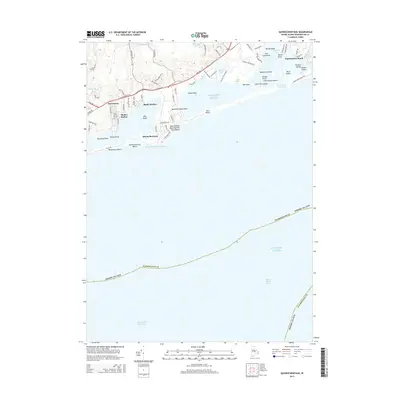
2015 Map of Quonochontaug
USGS Topo · Published 2015About this map
Coastal salt ponds and narrow barrier beaches define this stretch of the Rhode Island shoreline, where the Quonochontaug Breachway and Charlestown Breachway provide critical outlets to the Atlantic Ocean. The landscape is a complex network of points and coves, including Quonochontaug Neck, Reeds Point, and Marsh Point, which separate the inland waters of Watchaug Pond and Green Hill Pond from the sea. Residential clusters like Haversham, Shelter Harbor, and Shady Harbor are reached by local corridors such as Post Rd and Shore Rd.
Find a feature on this map
81 named features on this map. Tap any name to fly to it.
Don’t see what you’re looking for? This feature index may not catch every label — zoom into the map to look around manually.
Map Details
Editions of this 2015 Quonochontaug Map
This is the sole edition of this map. No revisions or reprints were ever made.
Other maps of this area

1889 · Stonington
USGS Topo · 1:62,500

1889 · Charlestown
USGS Topo · 1:62,500

1889 · Block Island
USGS Topo · 1:62,500

1893 · Stonington
USGS Topo · 1:62,500

1894 · Block Island
USGS Topo · 1:62,500

1899 · Block Island
USGS Topo · 1:62,500

1904 · Montauk
USGS Topo · 1:62,500

1919 · Charlestown
USGS Topo · 1:62,500

1921 · Charlestown
USGS Topo · 1:62,500

1921 · Stonington
USGS Topo · 1:62,500