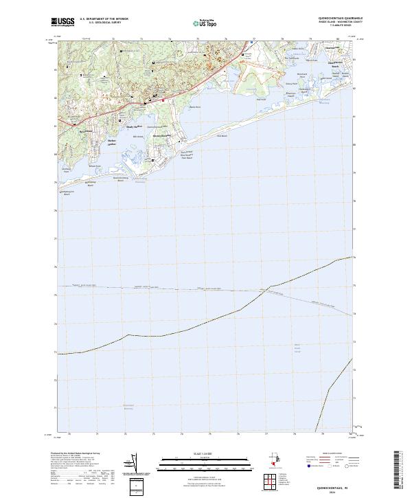
2024 Map of Quonochontaug
USGS Topo · Published 2024About this map
The coastal stretch of Washington County is defined here by the extensive Ninigret National Wildlife Refuge and the complex salt pond systems of the Rhode Island shoreline. The map reveals a dense concentration of historical burial grounds, many associated with the area's earliest families, such as the Benjamin Hazard Ground Cem, the Reverend Joseph Park Family Lot Cem, and the General Joseph Stanton Monument Cem. These small family lots are scattered across the landscape, providing significant genealogical touchpoints amidst modern residential developments like Shelter Harbor and Shady Harbor.
Find a feature on this map
97 named features on this map. Tap any name to fly to it.
Don’t see what you’re looking for? This feature index may not catch every label — zoom into the map to look around manually.
Map Details
Editions of this 2024 Quonochontaug Map
This is the sole edition of this map. No revisions or reprints were ever made.
Historical Maps of Charlestown Beach Through Time
4 maps found