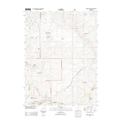
2013 Map of Rabbit Ears Peak
USGS Topo · Published 2013About this map
Rabbit Ears Peak and the surrounding Rabbit Ears Range anchor this high-elevation landscape along the boundary of Jackson and Grand counties. The terrain is defined by the Continental Divide, where the headwaters of numerous drainages such as Grizzly Cr, Colorado Cr, and Wilset Cr begin their descent. Human presence in this area is marked by water management and transit, including the Ross Ditch Extension and the historic McGowan Homestead near McGowan Reservoir. The Continental Divide National Scenic Trail winds through the Routt National Forest, providing a modern corridor through a landscape that includes distinctive geological features like the White Slide and Harrison Hump. Near Muddy Pass, the intersection of US Hwy 40 and the entrance to the Arapaho National Forest marks a primary gateway through these mountains.
Find a feature on this map
34 named features on this map. Tap any name to fly to it.
Don’t see what you’re looking for? This feature index may not catch every label — zoom into the map to look around manually.
Map Details
Editions of this 2013 Rabbit Ears Peak Map
This is the sole edition of this map. No revisions or reprints were ever made.
Other maps of this area

1911 · Hahns Peak
USGS Topo · 1:125,000

1913 · Hahns Peak
USGS Topo · 1:125,000

1954 · Craig
USGS Topo · 1:250,000

1955 · Buffalo Pass
USGS Topo · 1:24,000

1955 · Teal Lake
USGS Topo · 1:24,000

1955 · Coalmont
USGS Topo · 1:24,000

1955 · Mount Ethel
USGS Topo · 1:62,500

1955 · Walden
USGS Topo · 1:62,500

1956 · Rabbit Ears Peak
USGS Topo · 1:24,000

1956 · Lake Agnes
USGS Topo · 1:24,000