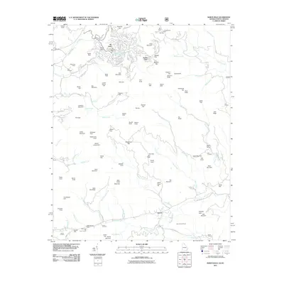
2011 Map of Rabun Bald
USGS Topo · Published 2011About this map
Sky Valley sits atop the high terrain in this 2011 survey, where the Sky Valley Dam and Spring Lake are centerpiece features of the mountain community. The landscape is defined by its deep relief and numerous watercourses, including the Warwoman Creek and Tuckaluge Creek which drain the southern valleys near the settlement of Antioch.
Find a feature on this map
142 named features on this map. Tap any name to fly to it.
Don’t see what you’re looking for? This feature index may not catch every label — zoom into the map to look around manually.
Map Details
Editions of this 2011 Rabun Bald Map
This is the sole edition of this map. No revisions or reprints were ever made.
Other maps of this area

1886 · Walhalla
USGS Topo · 1:125,000

1891 · Cowee
USGS Topo · 1:125,000

1892 · Walhalla
USGS Topo · 1:125,000

1896 · Walhalla
USGS Topo · 1:125,000
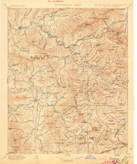
1897 · Cowee
USGS Topo · 1:125,000
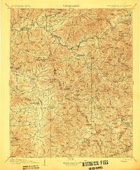
1907 · Cowee
USGS Topo · 1:125,000
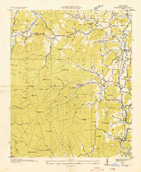
1935 · Prentiss
USGS Topo · 1:24,000
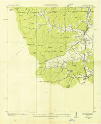
1935 · Dillard
USGS Topo · 1:24,000
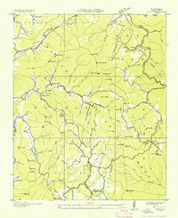
1935 · Scaly
USGS Topo · 1:24,000
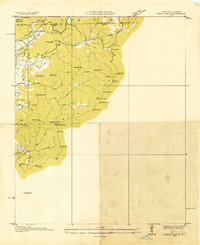
1935 · Rabun Bald
USGS Topo · 1:24,000