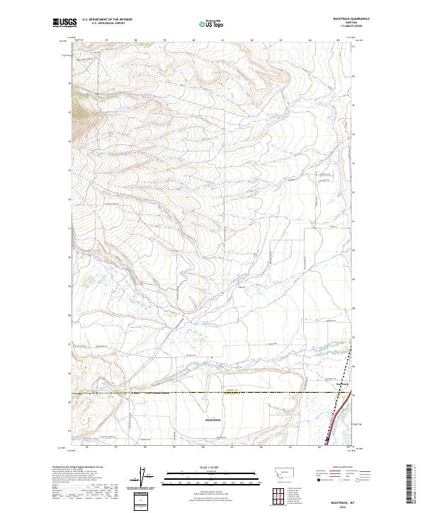
2024 Map of Racetrack
USGS Topo · Published 2024About this map
Racetrack and the northern outskirts of Anaconda anchor this 2024 landscape at the boundary of Powell and Deer Lodge Counties. The terrain is defined by a series of parallel watercourses descending from the high ground in the west, including Dempsey Creek and Racetrack Creek, which feed into a network of historic irrigation systems like the Morrison Ditch and West Side Canal. This intricate water management infrastructure reveals the area's long-standing reliance on diverted alpine runoff for local agriculture and industry.
Find a feature on this map
36 named features on this map. Tap any name to fly to it.
Don’t see what you’re looking for? This feature index may not catch every label — zoom into the map to look around manually.
Map Details
Editions of this 2024 Racetrack Map
This is the sole edition of this map. No revisions or reprints were ever made.
Other maps of this area

1889 · Helena
USGS Topo · 1:250,000

1893 · Helena
USGS Topo · 1:250,000

1899 · Helena
USGS Topo · 1:250,000

1903 · Helena
USGS Topo · 1:250,000

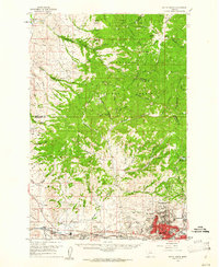
1947 · Butte
USGS Topo · 1:250,000

1958 · Butte
USGS Topo · 1:250,000
1959 · Butte North
USGS Topo · 1:62,500

1959 · Deer Lodge
USGS Topo · 1:62,500

1960 · Butte
USGS Topo · 1:250,000
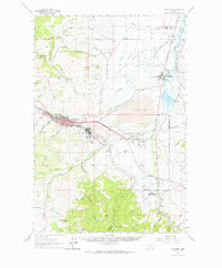
1961 · Anaconda
USGS Topo · 1:62,500