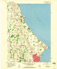
1958 Map of Racine North
USGS Topo · Published 1960About this map
Lake Michigan defines the eastern edge of this 1950s survey, where the expanding city of Racine meets the rural townships of Caledonia and Oak Creek. The landscape is a transition between industrial development and agricultural plots, punctuated by a dense network of local education and religious sites like Dominican College and Holy Cross Cemetery. The infrastructure reflects a heavy reliance on the lake and rail, featuring the Chicago North Shore and Milwaukee line and a prominent Powerplant on the shore. Inland, the Root River meanders toward the city, passing through Johnson Park and near the Horlick-Racine Airport. Significant local history is found in the scattered schoolhouses, including Scanlon Sch and Lamberton Sch, which serve the small communities of Tabor and Crestview as suburban growth begins to encroach on the older farm roads.
Find a feature on this map
56 named features on this map. Tap any name to fly to it.
Don’t see what you’re looking for? This feature index may not catch every label — zoom into the map to look around manually.
Map Details
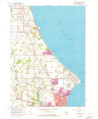
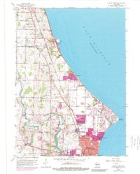
Editions of this 1958 Racine North Map
3 editions found
Other maps of this area

1891 · Bayview
USGS Topo · 1:62,500

1892 · Racine
USGS Topo · 1:62,500

1901 · Bayview
USGS Topo · 1:62,500

1905 · Racine
USGS Topo · 1:62,500
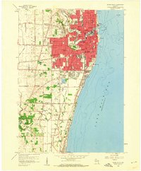
1958 · Racine South
USGS Topo · 1:24,000
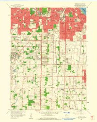
1958 · Greendale
USGS Topo · 1:24,000
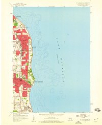
1958 · South Milwaukee
USGS Topo · 1:24,000
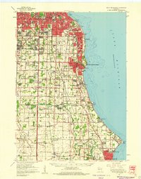
1958 · South Milwaukee
USGS Topo · 1:62,500
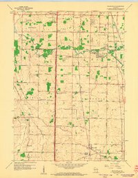
1958 · Franksville
USGS Topo · 1:24,000

1958 · Racine
USGS Topo · 1:250,000