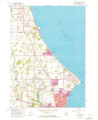
1958 Map of Racine North
USGS Topo · Published 1973About this map
The Lake Michigan shoreline north of Racine reveals a landscape in transition between industrial expansion and established lakeside communities during the mid-20th century. At the prominent bend of Wind Point, a historic Lighthouse stands near the Wind Point Sch, while the nearby residential pockets of Crestview and North Bay mark the suburban growth of the era. To the west, the Chicago and North Western railway corridors support industrial features like the Quarry at Ives and the Powerplant near the northern boundary. Educational and religious institutions are densely clustered through Caledonia, including Dominican College, St Rita Sch, and several historic burial grounds such as the National Cem and Holy Family Cem. The meandering Root River flows through the southwest corner, past Johnson Park and the Horlick-Racine Airport, illustrating the region's balance of recreation and local infrastructure.
Find a feature on this map
80 named features on this map. Tap any name to fly to it.
Don’t see what you’re looking for? This feature index may not catch every label — zoom into the map to look around manually.
Map Details
Editions of this 1958 Racine North Map
3 editions found
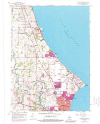
Other maps of this area

1891 · Bayview
USGS Topo · 1:62,500

1892 · Racine
USGS Topo · 1:62,500

1901 · Bayview
USGS Topo · 1:62,500

1905 · Racine
USGS Topo · 1:62,500
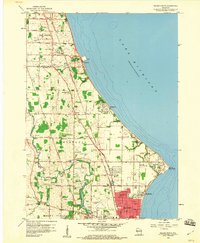
1958 · Racine North
USGS Topo · 1:24,000
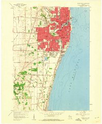
1958 · Racine South
USGS Topo · 1:24,000
1958 · Greendale
USGS Topo · 1:24,000
1958 · South Milwaukee
USGS Topo · 1:24,000
1958 · South Milwaukee
USGS Topo · 1:62,500
1958 · Franksville
USGS Topo · 1:24,000