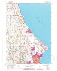
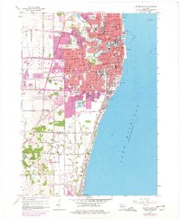
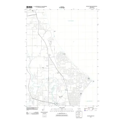
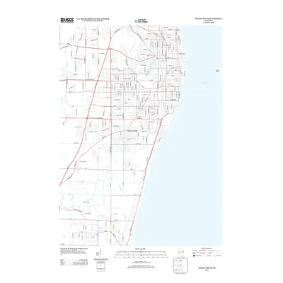
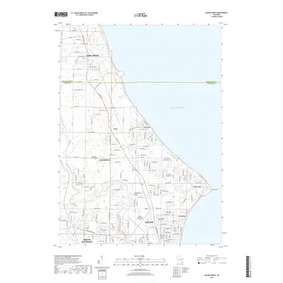
1958 Map of Racine North
USGS Topo · Published 1989About this map
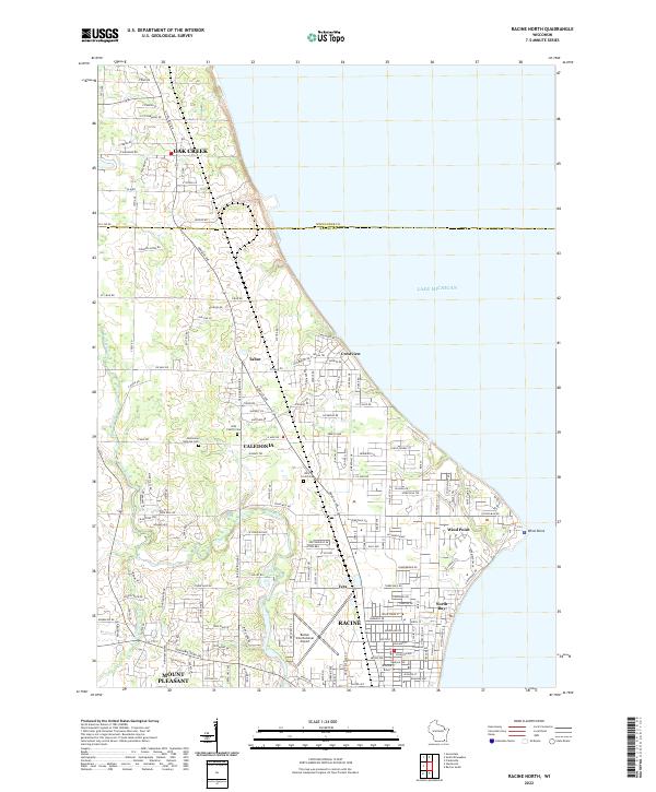
The Lake Michigan shoreline north of Racine reveals a mid-century landscape of rapid suburban expansion and institutional growth. The Chicago and North Western railway corridor serves as a primary axis, cutting through the townships of Caledonia and Mount Pleasant. This era shows significant educational and religious development, evidenced by numerous local institutions such as Dominican College, St Rita Sch, and the Westfield Sch.
Find a feature on this map
61 named features on this map. Tap any name to fly to it.
Don’t see what you’re looking for? This feature index may not catch every label — zoom into the map to look around manually.
Map Details
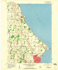
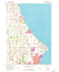
Editions of this 1958 Racine North Map
3 editions found
Historical Maps of Racine Through Time
24 maps found
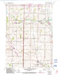
1958 Franksville
Racine County, WI
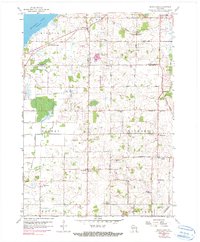
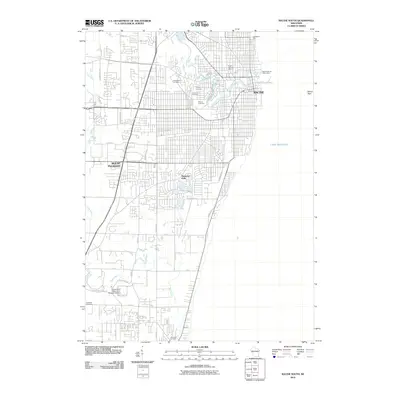
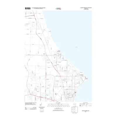
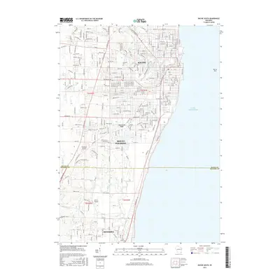
1958 Racine North
Racine County, WI
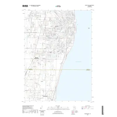
1958 Racine South
Racine County, WI
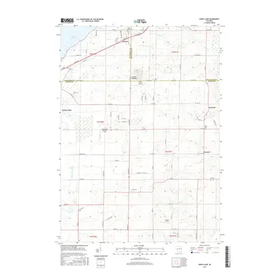
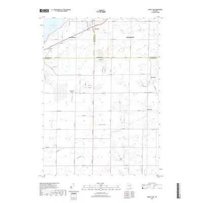
1959 North Cape
Racine County, WI
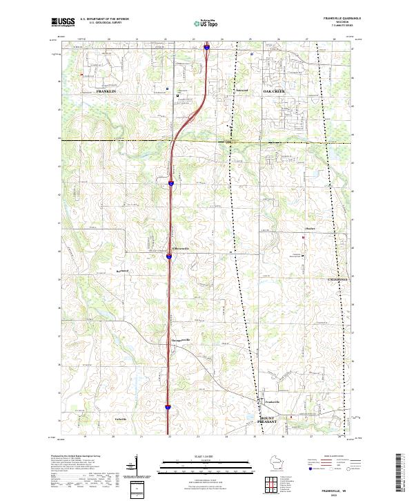
2010 Franksville
Racine County, WI
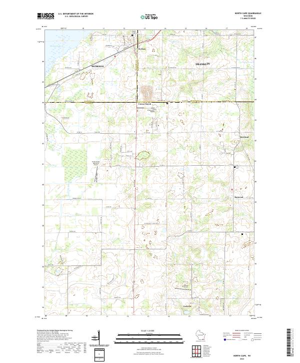
2010 North Cape
Racine County, WI
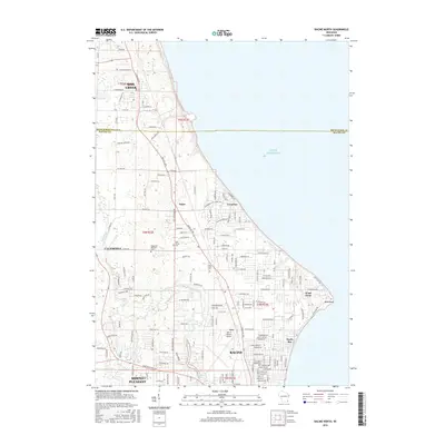
2010 Racine North
Racine County, WI
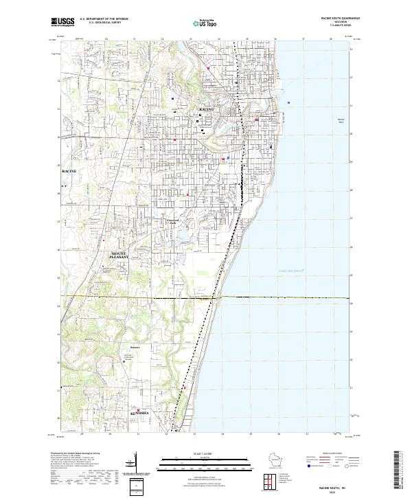
2010 Racine South
Racine County, WI
2013 Franksville
Racine County, WI
2013 North Cape
Racine County, WI
2013 Racine North
Racine County, WI
2013 Racine South
Racine County, WI

2016 Franksville
Racine County, WI
2016 North Cape
Racine County, WI
2016 Racine North
Racine County, WI
2016 Racine South
Racine County, WI

2018 Franksville
Racine County, WI
2018 North Cape
Racine County, WI
2018 Racine North
Racine County, WI
2018 Racine South
Racine County, WI
2022 Franksville
Racine County, WI
2022 North Cape
Racine County, WI
2022 Racine North
Racine County, WI
2022 Racine South
Racine County, WI