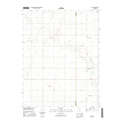
2015 Map of Radium
USGS Topo · Published 2015About this map
The Arkansas River meanders across this rural landscape, forming the primary geographic axis for the small communities of Radium and Ray during the mid-2010s. The region is defined by its agricultural grid, where long thoroughfares like Radium Rd and Larned Rd connect scattered farmsteads and rural landmarks. This section of Stafford and Pawnee counties preserves significant genealogical markers in the form of quiet burial grounds, including Pleasant Ridge Cem in the northeast and Fertig Cem situated further south. Hydrological features such as Pickle Cr and Ash Cr feed into the river basin, shaping the local drainage patterns. The map provides a clear record of the section-line road system, including named routes like NW 200th St and 40th Ave, which have dictated the layout of this Kansas prairie for generations.
Find a feature on this map
28 named features on this map. Tap any name to fly to it.
Don’t see what you’re looking for? This feature index may not catch every label — zoom into the map to look around manually.
Map Details
Editions of this 2015 Radium Map
This is the sole edition of this map. No revisions or reprints were ever made.
Other maps of this area

1889 · Larned
USGS Topo · 1:125,000

1891 · Great Bend
USGS Topo · 1:125,000

1891 · Larned
USGS Topo · 1:125,000

1893 · Great Bend
USGS Topo · 1:125,000

1955 · Great Bend
USGS Topo · 1:250,000

1957 · Great Bend
USGS Topo · 1:250,000

1958 · Great Bend
USGS Topo · 1:250,000

1958 · Great Bend
USGS Topo · 1:24,000

1960 · Pawnee Rock
USGS Topo · 1:24,000
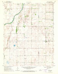
1969 · Radium
USGS Topo · 1:24,000