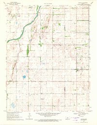
1969 Map of Radium
USGS Topo · Published 1971About this map
The Arkansas River cuts across this Central Kansas landscape, defining the transition between the river lowlands and the rolling sand hills of the interior. The small community of Radium serves as a local hub, situated along the Missouri Pacific railroad line which facilitated the movement of grain and goods through the region. Land use here is a mix of agricultural sections and growing energy extraction, evidenced by the development of the Bayer Oil Field and Dunes North Oil Field. For genealogists and local historians, several rural burial grounds are documented, including Pleasant Ridge Cem near the northern boundary and Fertig Cem to the south. The grid of township lines across Lincoln, Logan, and Douglas townships reflects the methodical settlement patterns that organized the prairie into productive homesteads and small-town footprints like the Radium Townsite.
Find a feature on this map
17 named features on this map. Tap any name to fly to it.
Don’t see what you’re looking for? This feature index may not catch every label — zoom into the map to look around manually.
Map Details
Editions of this 1969 Radium Map
This is the sole edition of this map. No revisions or reprints were ever made.
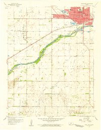
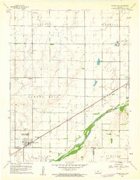
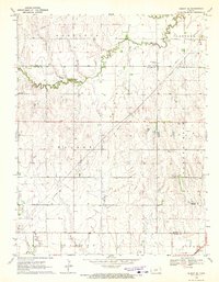
Other maps of this area

1889 · Larned
USGS Topo · 1:125,000

1891 · Great Bend
USGS Topo · 1:125,000

1891 · Larned
USGS Topo · 1:125,000

1893 · Great Bend
USGS Topo · 1:125,000

1955 · Great Bend
USGS Topo · 1:250,000

1957 · Great Bend
USGS Topo · 1:250,000

1958 · Great Bend
USGS Topo · 1:250,000
1958 · Great Bend
USGS Topo · 1:24,000
1960 · Pawnee Rock
USGS Topo · 1:24,000
1970 · Albert SE
USGS Topo · 1:24,000