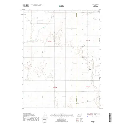
2022 Map of Radium
USGS Topo · Published 2022About this map
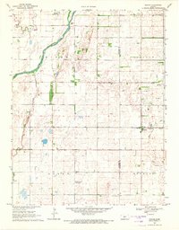
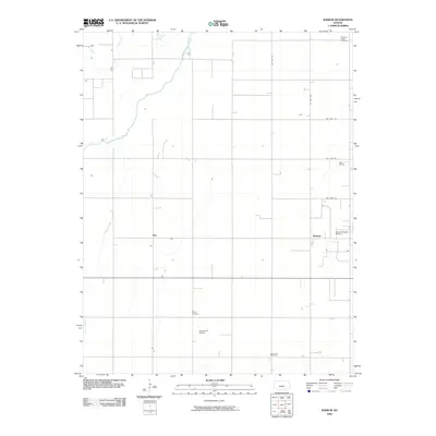
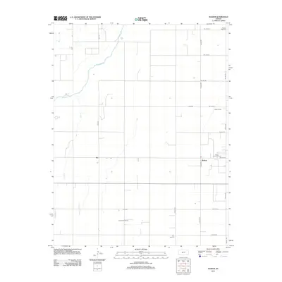
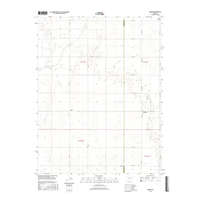
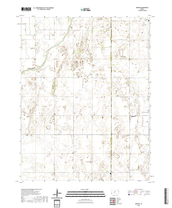
The Arkansas River meanders across the northwest corner of this Stafford and Pawnee County landscape, setting the drainage pattern for the surrounding plains. The small settlements of Radium and Ray anchor the agricultural grid, representing the quiet rural centers of the early 21st-century Kansas wheat belt. This survey provides excellent detail for genealogists, featuring three distinct burial grounds: Pleasant Ridge Cem in the northeast, Fertig Cem near the center of the sheet, and Point View Cem along the southern boundary. These cemeteries, alongside waterways like Ash Cr and Pickle Cr, offer a window into the historical settlement patterns of the region, where family-named landmarks and township lines like t21s r14w define the rural heritage. The network of section roads, including Larned Rd and various numbered streets, illustrates the persistent geometry of the Great Plains' development.
Find a feature on this map
23 named features on this map. Tap any name to fly to it.
Don’t see what you’re looking for? This feature index may not catch every label — zoom into the map to look around manually.
Map Details
Editions of this 2022 Radium Map
This is the sole edition of this map. No revisions or reprints were ever made.
Historical Maps of Radium Through Time
6 maps found