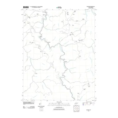
2011 Map of Radnor
USGS Topo · Published 2011About this map
West Fork Twelvepole Creek carves a winding path through this corner of Wayne County, dictating the placement of settlements and transit routes like the Old N&W RR. The map highlights a landscape defined by sharp ridges and deep hollows, where family-named landmarks such as Lycans Ridge and Napier Ridge provide geographical anchors for local residents. The area is particularly rich in small family burial grounds, including the Marilyn Napier Cemetery and Watts and Perry Cemetery, offering a detailed spatial record for genealogical research.
Find a feature on this map
113 named features on this map. Tap any name to fly to it.
Don’t see what you’re looking for? This feature index may not catch every label — zoom into the map to look around manually.
Map Details
Editions of this 2011 Radnor Map
This is the sole edition of this map. No revisions or reprints were ever made.
Other maps of this area

1886 · Prestonsburg
USGS Topo · 1:125,000

1887 · Warfield
USGS Topo · 1:125,000

1891 · Warfield
USGS Topo · 1:125,000

1892 · Prestonsburg
USGS Topo · 1:125,000

1892 · Huntington
USGS Topo · 1:125,000

1898 · Huntington
USGS Topo · 1:125,000

1903 · Kenova
USGS Topo · 1:125,000

1904 · Kenova
USGS Topo · 1:125,000

1909 · Wayne
USGS Topo · 1:62,500

1910 · Naugatuck
USGS Topo · 1:48,000