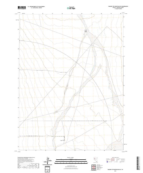
2021 Map of Ragged Top Mountain SW
USGS Topo · Published 2021About this map
Granite Springs Valley dominates the northern landscape of this Pershing County expanse, where the high desert terrain transitions into the broad alluvial floor of Copper Valley to the south. This 2021 survey by the U.S. Geological Survey documents a remote stretch of the Great Basin characterized by intermittent drainage patterns and the vast, open basins typical of the Nevada interior. The primary drainage feature, Sage Hen Wash, tracks southward through the central sections of the map, carving a path between the surrounding mountain ranges. The absence of modern development or permanent settlements highlights the enduring isolation of this region, which is meticulously divided by the Public Land Survey System into townships such as t26n r27e and t26n r28e, providing essential spatial data for land management and geological study in this part of the state.
Find a feature on this map
7 named features on this map. Tap any name to fly to it.
Don’t see what you’re looking for? This feature index may not catch every label — zoom into the map to look around manually.
Map Details
Editions of this 2021 Ragged Top Mountain SW Map
This is the sole edition of this map. No revisions or reprints were ever made.
Other maps of this area

1886 · Granite Range
USGS Topo · 1:250,000

1890 · Wadsworth
USGS Topo · 1:125,000

1892 · Wadsworth
USGS Topo · 1:125,000

1894 · Granite Range
USGS Topo · 1:250,000

1894 · Wadsworth
USGS Topo · 1:125,000

1908 · Carson Sink
USGS Topo · 1:250,000

1910 · Carson Sink
USGS Topo · 1:250,000

1931 · Lovelock
USGS Topo · 1:250,000

1935 · Lovelock
USGS Topo · 1:250,000

1951 · Desert Peak
USGS Topo · 1:62,500