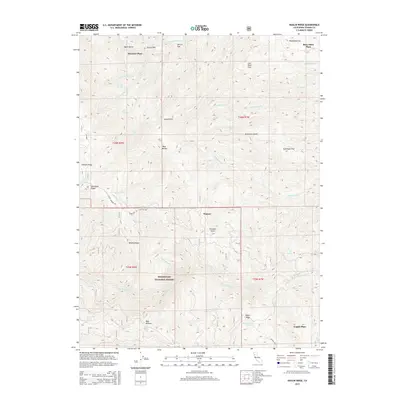
2015 Map of Raglin Ridge
USGS Topo · Published 2015About this map
The Mendocino National Forest defines the southern half of this interior landscape, where the northern foothills transition into more pronounced peaks and ridges. Scattered homesteads and family-named sites such as Hammer Place, Mary Ellen Place, and Copple Place point to a history of rural settlement and grazing, linked by winding routes like Colver Springs Rd and Colyear Spr Rd. The terrain is deeply incised by a complex drainage network, including Red Bank Creek and the North Fork Elder Creek.
Find a feature on this map
53 named features on this map. Tap any name to fly to it.
Don’t see what you’re looking for? This feature index may not catch every label — zoom into the map to look around manually.
Map Details
Editions of this 2015 Raglin Ridge Map
This is the sole edition of this map. No revisions or reprints were ever made.
Other maps of this area

1890 · Red Bluff
USGS Topo · 1:250,000

1894 · Red Bluff
USGS Topo · 1:250,000

1949 · Colyear Springs
USGS Topo · 1:62,500

1952 · Paskenta
USGS Topo · 1:62,500

1952 · Anthony Peak
USGS Topo · 1:62,500

1954 · Yolla Bolly
USGS Topo · 1:62,500

1957 · Colyear Springs
USGS Topo · 1:62,500

1957 · Ukiah
USGS Topo · 1:250,000

1958 · Redding
USGS Topo · 1:250,000

1960 · Ukiah
USGS Topo · 1:250,000