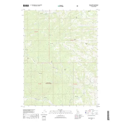
2018 Map of Raglin Ridge
USGS Topo · Published 2018About this map
Mendocino National Forest defines this high-elevation landscape in Tehama County, where a network of prominent ridges and drainages shape the terrain. The central spine of Raglin Ridge and the western flank of Elkhorn Ridge create a series of isolated basins, including Bear Wallow and Sunflower Flat. These higher elevations are punctuated by numerous natural water sources critical for the region's cattle and timber history, such as Sulphur Spring, Bear-Wallow Spring, and Salt Lick Spring. Navigation across these folds relies on historic routes like Colyer Springs Rd and Raglin Ridge Rd, which trace the contours of Whisky Ridge and Valentine Ridge. The map details a complex system of seasonal and perennial creeks, including N Fork Elder Cr and S Fork Cottonwood Cr, which have historically dictated access and use in this section of the national forest.
Find a feature on this map
50 named features on this map. Tap any name to fly to it.
Don’t see what you’re looking for? This feature index may not catch every label — zoom into the map to look around manually.
Map Details
Editions of this 2018 Raglin Ridge Map
This is the sole edition of this map. No revisions or reprints were ever made.
Other maps of this area

1890 · Red Bluff
USGS Topo · 1:250,000

1894 · Red Bluff
USGS Topo · 1:250,000

1949 · Colyear Springs
USGS Topo · 1:62,500

1952 · Paskenta
USGS Topo · 1:62,500

1952 · Anthony Peak
USGS Topo · 1:62,500

1954 · Yolla Bolly
USGS Topo · 1:62,500

1957 · Colyear Springs
USGS Topo · 1:62,500

1957 · Ukiah
USGS Topo · 1:250,000

1958 · Redding
USGS Topo · 1:250,000

1960 · Ukiah
USGS Topo · 1:250,000