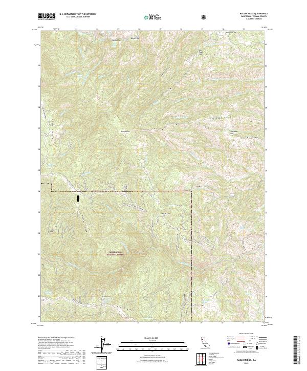
2021 Map of Raglin Ridge
USGS Topo · Published 2021About this map
Mendocino National Forest defines this high-elevation landscape in Tehama County, where a series of prominent northwest-trending ridges dictate the drainage patterns of numerous creeks. The topography is anchored by Raglin Ridge, Whisky Ridge, and Elkhorn Ridge, creating a corrugated terrain of steep gulches and small mountain flats. These isolated flats, such as Sunflower Flat, Biscuit Flat, and Last Feed Flat, provide rare level ground amidst the complex network of canyons formed by Red Bank Creek and the various forks of Hensley Creek.
Find a feature on this map
50 named features on this map. Tap any name to fly to it.
Don’t see what you’re looking for? This feature index may not catch every label — zoom into the map to look around manually.
Map Details
Editions of this 2021 Raglin Ridge Map
This is the sole edition of this map. No revisions or reprints were ever made.
Other maps of this area

1890 · Red Bluff
USGS Topo · 1:250,000

1894 · Red Bluff
USGS Topo · 1:250,000

1949 · Colyear Springs
USGS Topo · 1:62,500

1952 · Paskenta
USGS Topo · 1:62,500

1952 · Anthony Peak
USGS Topo · 1:62,500

1954 · Yolla Bolly
USGS Topo · 1:62,500

1957 · Colyear Springs
USGS Topo · 1:62,500

1957 · Ukiah
USGS Topo · 1:250,000

1958 · Redding
USGS Topo · 1:250,000

1960 · Ukiah
USGS Topo · 1:250,000