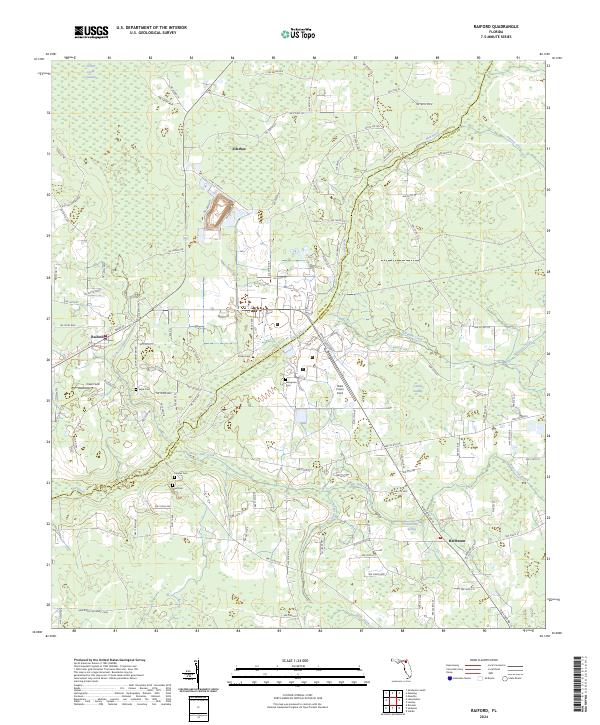
2024 Map of Raiford
USGS Topo · Published 2024About this map
New River meanders across the border of Union and Bradford counties, defining a landscape dominated by institutional land use and natural wetlands. The area is anchored by several burial sites with deep local significance, including Sapp Cem, Conner Cem, and Dyal Cem, alongside the more specialized Prison Cem and Evergreen Cem. The settlement of Raiford sits at the junction of the State Road 121 Rail Trail Corridor, reflecting the region's transition from active rail transport to modern recreational use.
Find a feature on this map
116 named features on this map. Tap any name to fly to it.
Don’t see what you’re looking for? This feature index may not catch every label — zoom into the map to look around manually.
Map Details
Editions of this 2024 Raiford Map
This is the sole edition of this map. No revisions or reprints were ever made.
Other maps of this area

1918 · Lawtey
USGS Topo · 1:62,500

1941 · Starke
USGS Topo · 1:62,500

1948 · Starke
USGS Topo · 1:50,000

1949 · Sampson
USGS Topo · 1:24,000

1949 · Starke
USGS Topo · 1:24,000

1949 · Starke
USGS Topo · 1:62,500

1954 · Gainesville
USGS Topo · 1:250,000

1954 · Valdosta
USGS Topo · 1:250,000

1958 · Valdosta
USGS Topo · 1:250,000

1958 · Gainesville
USGS Topo · 1:250,000