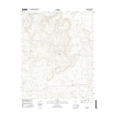
2016 Map of Raiford
USGS Topo · Published 2016About this map
The North Canadian River meanders across the northern reaches of this McIntosh County landscape, defining a terrain of narrow creek valleys and elevated ridges. The small community of Raiford serves as a local hub in the south, connected by a network of rural routes including n4060 RD and e1200 RD. This 2016 survey illustrates the persistent rural character of the region, where family history is anchored at the Lenna Cem near the northern boundary.
Find a feature on this map
27 named features on this map. Tap any name to fly to it.
Don’t see what you’re looking for? This feature index may not catch every label — zoom into the map to look around manually.
Map Details
Editions of this 2016 Raiford Map
This is the sole edition of this map. No revisions or reprints were ever made.
Other maps of this area

1900 · Canadian
USGS Topo · 1:125,000

1946 · Fort Smith
USGS Topo · 1:250,000

1962 · Henryetta
USGS Topo · 1:24,000

1962 · Raiford
USGS Topo · 1:24,000

1962 · Henryetta SW
USGS Topo · 1:24,000

1962 · Pierce
USGS Topo · 1:24,000

1962 · Hoffman
USGS Topo · 1:24,000

1963 · Stidham
USGS Topo · 1:24,000

1965 · Fort Smith
USGS Topo · 1:250,000

1967 · Fort Smith
USGS Topo · 1:250,000