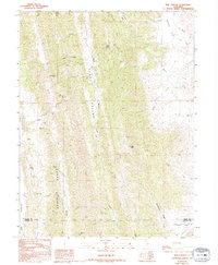
1989 Map of Rail Canyon
USGS Topo · Published 1994About this map
Clark Valley forms a central drainage corridor through this portion of the Inner Coast Ranges, as documented in this survey based on fieldwork from the late 1950s and mid-1980s. The landscape is defined by the prominent Clark Ridge to the west and Seminary Ridge to the southeast, creating a complex network of canyons and peaks. The South Fork Willow Creek flows through the heart of the valley, joined by tributaries like Pigeon Creek and Rail Canyon. The topography reaches its height at High Peak, overlooking a terrain marked by natural features like Glen Spring and Squaw Flat. Near the southern edge of the sheet, the terrain begins to level out into Antelope Valley as it crosses the boundary between Glenn and Colusa counties. This map captures the intricate watershed of the Sacramento Valley's western foothills, including the headwaters of Howard Creek and Funks Creek.
Find a feature on this map
24 named features on this map. Tap any name to fly to it.
Don’t see what you’re looking for? This feature index may not catch every label — zoom into the map to look around manually.
Map Details
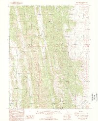
Editions of this 1989 Rail Canyon Map
2 editions found
Other maps of this area

1904 · Logan Creek
USGS Topo · 1:24,000

1904 · Sites
USGS Topo · 1:24,000

1917 · Kurand
USGS Topo · 1:31,680

1917 · Sites
USGS Topo · 1:31,680

1918 · Logan Creek
USGS Topo · 1:31,680

1919 · Fruto
USGS Topo · 1:62,500

1919 · Elk Creek
USGS Topo · 1:62,500

1943 · Lodoga
USGS Topo · 1:62,500

1944 · Fruto
USGS Topo · 1:62,500

1948 · Elk Creek
USGS Topo · 1:62,500