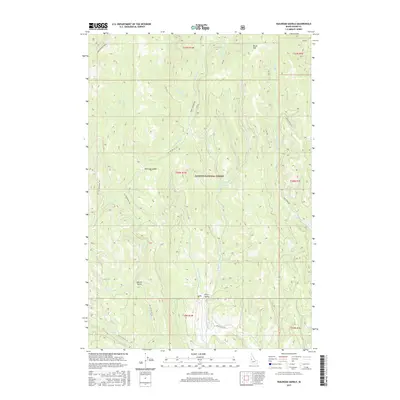
2017 Map of Railroad Saddle
USGS Topo · Published 2017About this map
Payette National Forest dominates the landscape of this Idaho interior, where the high drainage divide of Railroad Saddle marks the passage between rugged watersheds. The area is defined by the convergence of the W Br Weiser River and E Br Weiser River, which flow south toward Price Valley. This network of water is fed by isolated sources like Aspen Spring and Miller Spring, as well as numerous seasonal creeks such as Twin Fork Cr and Huckleberry Cr. The presence of several Forest Service access routes, including Smokey Boulder Rd and Nat For Dev Rd 128, highlights the importance of resource management and timber access in this part of Adams County. To the north, Rapid River Ridge and Brush Mtn provide significant vertical relief, shaping the local hydrology and forest boundaries.
Find a feature on this map
30 named features on this map. Tap any name to fly to it.
Don’t see what you’re looking for? This feature index may not catch every label — zoom into the map to look around manually.
Map Details
Editions of this 2017 Railroad Saddle Map
This is the sole edition of this map. No revisions or reprints were ever made.
Other maps of this area

1911 · Meadows
USGS Topo · 1:125,000

1920 · Seven Devils Mining District
USGS Topo · 1:48,000

1938 · Riggins
USGS Topo · 1:96,000

1945 · Riggins
USGS Topo · 1:125,000

1954 · New Meadows
USGS Topo · 1:62,500

1955 · Baker
USGS Topo · 1:250,000

1955 · Grangeville
USGS Topo · 1:250,000

1957 · Cuprum
USGS Topo · 1:62,500

1957 · Hornet
USGS Topo · 1:62,500

1959 · Baker
USGS Topo · 1:250,000