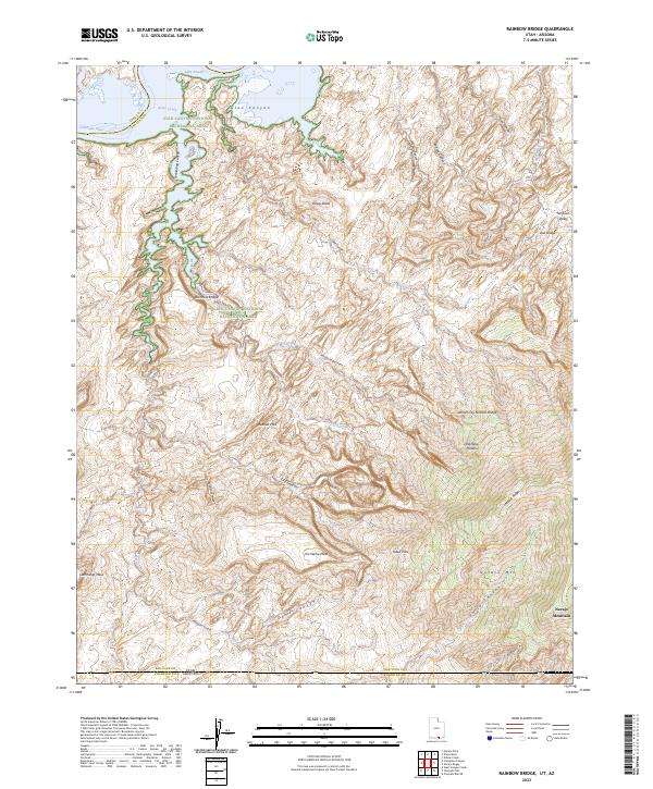
2023 Map of Rainbow Bridge
USGS Topo · Published 2023About this map
Rainbow Bridge stands as the central landmark of this high-desert landscape, located within the sprawling Glen Canyon National Recreation Area. The terrain is defined by a complex network of deep drainages including Forbidding Canyon, Bridge Canyon, and Cliff Canyon, all of which eventually feed toward the waters of Lake Powell and the Colorado River in the north. The geography is characterized by dramatic elevation changes, rising from the canyons to the heights of Navajo Mtn and Cummings Mesa in the south. These natural barriers created a formidable environment for travel, marked by named crossings such as Redbud Pass and Yabut Pass. This modern survey also documents unique geological features like White Crag Natural Bridge and Owl Bridge, alongside remote water sources such as Rainbow Lodge Spring.
Find a feature on this map
43 named features on this map. Tap any name to fly to it.
Don’t see what you’re looking for? This feature index may not catch every label — zoom into the map to look around manually.
Map Details
Editions of this 2023 Rainbow Bridge Map
This is the sole edition of this map. No revisions or reprints were ever made.
Other maps of this area

1883 · Marsh Pass
USGS Topo · 1:250,000

1886 · Escalante
USGS Topo · 1:250,000

1886 · Henry Mountains
USGS Topo · 1:250,000

1886 · Echo Cliffs
USGS Topo · 1:250,000

1891 · Echo Cliffs
USGS Topo · 1:250,000

1892 · Marsh Pass
USGS Topo · 1:250,000

1892 · Henry Mountains
USGS Topo · 1:250,000

1953 · Cummings Mesa
USGS Topo · 1:62,500

1953 · Navajo Mountain
USGS Topo · 1:62,500

1954 · Navajo Creek
USGS Topo · 1:62,500