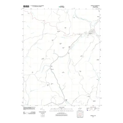
2011 Map of Rainelle
USGS Topo · Published 2011About this map
Rainelle serves as the primary hub on this Greenbrier County map, situated where the Meadow River meets Sewell Creek. The terrain is defined by a series of prominent peaks and ridges including Sewell Mountain, Simms Mountain, and Goddard Mountain, which overlook a network of hollows and creek beds. Industrial and resource-management features are present, most notably the Monclo Slurry Dam near Chestnut Flat and remnants of activity at Aldrich Camp. The settlement pattern follows the narrow valleys, with clusters at McRoss, Lilly Park, and Bellwood. A complex system of mountain roads, such as Maywood Rd and Simms Mountain Rd, provides access across the ridgelines, connecting these communities to smaller outposts like Spring Dale and Shawver in the southern portion of the quadrangle.
Find a feature on this map
64 named features on this map. Tap any name to fly to it.
Don’t see what you’re looking for? This feature index may not catch every label — zoom into the map to look around manually.
Map Details
Editions of this 2011 Rainelle Map
This is the sole edition of this map. No revisions or reprints were ever made.
Other maps of this area

1887 · Hinton
USGS Topo · 1:125,000

1889 · Nicholas
USGS Topo · 1:125,000

1891 · Nicholas
USGS Topo · 1:125,000

1892 · Hinton
USGS Topo · 1:125,000

1901 · Nicholas
USGS Topo · 1:125,000

1912 · Meadow Creek
USGS Topo · 1:48,000

1914 · Winona
USGS Topo · 1:48,000

1915 · Meadow Creek
USGS Topo · 1:62,500

1916 · Winona
USGS Topo · 1:62,500

1918 · Richwood
USGS Topo · 1:62,500