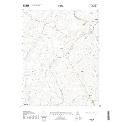
2019 Map of Rainelle
USGS Topo · Published 2019About this map
The timber-and-transit hub of Rainelle occupies a significant bend in the Meadow River, where the Midland Trl and various mountain routes converge. This 2019 survey documents a landscape defined by the winding paths of Sewell Creek and Little Sewell Creek, which cut through the high ground of Sewell Mountain. Historically significant settlements like Bellwood, Maywood, and Lilly Park are shown alongside smaller residential pockets such as Sims and Shawver. Notable for local researchers is the Meadow River Rail-Trail, an adaptive reuse project following the river's path northward toward McRoss. The topography is marked by named summits including Stevens Knob and Buster Knob, while genealogists can locate the Henson Cemetery situated south of the mountain gap at Spring Dale.
Find a feature on this map
95 named features on this map. Tap any name to fly to it.
Don’t see what you’re looking for? This feature index may not catch every label — zoom into the map to look around manually.
Map Details
Editions of this 2019 Rainelle Map
This is the sole edition of this map. No revisions or reprints were ever made.
Other maps of this area

1887 · Hinton
USGS Topo · 1:125,000

1889 · Nicholas
USGS Topo · 1:125,000

1891 · Nicholas
USGS Topo · 1:125,000

1892 · Hinton
USGS Topo · 1:125,000

1901 · Nicholas
USGS Topo · 1:125,000

1912 · Meadow Creek
USGS Topo · 1:48,000

1914 · Winona
USGS Topo · 1:48,000

1915 · Meadow Creek
USGS Topo · 1:62,500

1916 · Winona
USGS Topo · 1:62,500

1918 · Richwood
USGS Topo · 1:62,500