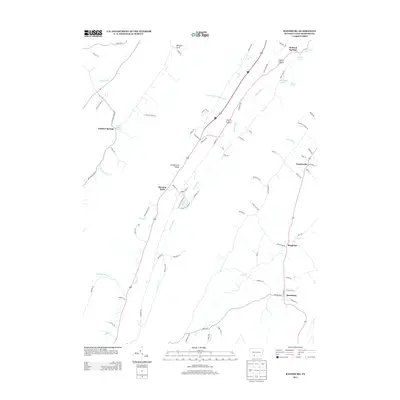
2013 Map of Rainsburg
USGS Topo · Published 2013About this map
Bedford Springs and the surrounding valley landscape are defined by a network of natural mineral springs that fueled the region's development. This survey reveals a high concentration of water sources including Magnesium Spring, Crystal Spring, and Black Spring, illustrating the hydrologic character of the Cumberland Valley area. The road network connects historic small settlements like Burning Bush and Charlesville, following the contours created by Evitts Cr and Shober Run.
Find a feature on this map
78 named features on this map. Tap any name to fly to it.
Don’t see what you’re looking for? This feature index may not catch every label — zoom into the map to look around manually.
Map Details
Editions of this 2013 Rainsburg Map
This is the sole edition of this map. No revisions or reprints were ever made.
Other maps of this area

1900 · Everett
USGS Topo · 1:62,500

1902 · Everett
USGS Topo · 1:62,500

1908 · Bedford
USGS Topo · 1:62,500

1910 · Bedford
USGS Topo · 1:62,500

1927 · Clearville
USGS Topo · 1:48,000

1927 · Hyndman
USGS Topo · 1:62,500

1931 · Clearville
USGS Topo · 1:62,500

1931 · Hyndman
USGS Topo · 1:62,500

1944 · Hyndman
USGS Topo · 1:62,500

1944 · Clearville
USGS Topo · 1:62,500
Featured Places
- Rainsburg, PA
- Colerain Township, PA
- Bedford Township, PA
- Harrison Township, PA
- Sulphur Springs, Harrison Township