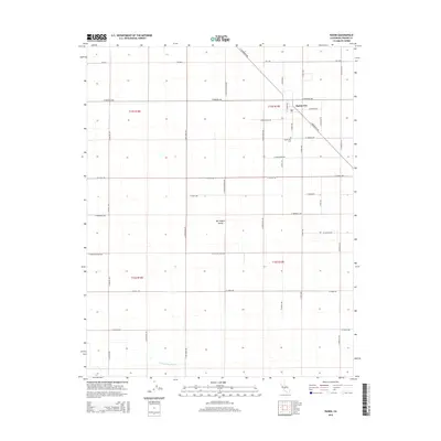
2015 Map of Raisin
USGS Topo · Published 2015About this map
Raisin City sits at the heart of this agricultural survey in the central San Joaquin Valley. The map details a landscape defined by an exacting grid of section lines and irrigation infrastructure, essential for the region's productive vineyards and orchards. Notable for local history is the Raisin City Cem located south of the main settlement along S Henderson Rd. Water management is visible in the lower reaches of the quadrangle, where the Liberty Millrace Canal cuts across the southern sections. The network of rural roads, including W Manning Ave and W Floral Ave, connects the various townships of T15S and T16S, reflecting the organized expansion of farming communities in Fresno County during the early 21st century.
Find a feature on this map
33 named features on this map. Tap any name to fly to it.
Don’t see what you’re looking for? This feature index may not catch every label — zoom into the map to look around manually.
Map Details
Editions of this 2015 Raisin Map
This is the sole edition of this map. No revisions or reprints were ever made.
Other maps of this area

1912 · Coalinga
USGS Topo · 1:125,000

1923 · Kearney Park
USGS Topo · 1:31,680

1923 · Fresno
USGS Topo · 1:31,680

1924 · Riverdale
USGS Topo · 1:31,680

1925 · Helm
USGS Topo · 1:31,680

1925 · Raisin
USGS Topo · 1:31,680

1925 · Caruthers
USGS Topo · 1:31,680

1927 · Burrel
USGS Topo · 1:31,680

1927 · Riverdale
USGS Topo · 1:31,680

1931 · Wheatville
USGS Topo · 1:31,680