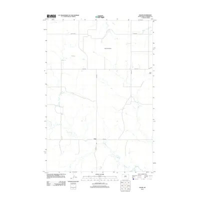
2012 Map of Ralph
USGS Topo · Published 2012About this map
Ralph serves as the central point in this sparsely settled landscape of Harding County, where the high plains transition into distinctive geological formations. The area is defined by the Lodge Pole Buttes and the isolated prominence of Mud Butte to the east, providing rare vertical relief in the open rangeland. A network of township and county roads, including Vessey Twp Rd and Twin Tsp Rd, follows the section lines of the Public Land Survey System, illustrating how human settlement has been structured around the grid. Drainage patterns are carved by seasonal waterways such as Big Nasty Cr, which winds through the southern portion of the quadrangle, along with Teeter Cr and Horse Cr in the north. This survey illustrates the persistence of remote ranching outposts and the geographic isolation characteristic of the northwestern South Dakota landscape in the early twenty-first century.
Find a feature on this map
13 named features on this map. Tap any name to fly to it.
Don’t see what you’re looking for? This feature index may not catch every label — zoom into the map to look around manually.
Map Details
Editions of this 2012 Ralph Map
This is the sole edition of this map. No revisions or reprints were ever made.
Other maps of this area

1935 · Reva
USGS Topo · 1:125,000

1954 · Lemmon
USGS Topo · 1:250,000

1957 · Lemmon
USGS Topo · 1:250,000

1968 · Ralph SW
USGS Topo · 1:24,000

1968 · Haley
USGS Topo · 1:24,000

1968 · Bowman-Haley Dam
USGS Topo · 1:24,000

1968 · Ralph
USGS Topo · 1:24,000

1969 · Reva NW
USGS Topo · 1:24,000

1969 · Reva NE
USGS Topo · 1:24,000

1974 · Cow Butte
USGS Topo · 1:24,000