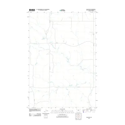
2012 Map of Ralph SW
USGS Topo · Published 2012About this map
Big Nasty Creek winds through this section of Harding County, defining the drainage patterns of an open, high-plains landscape. The area is characterized by a sparse network of county roads and section lines, including Lincoln Road and Hungerford Road, which connect isolated ranching and agricultural interests. Water remains a primary focal point in this arid region, as evidenced by Scarsland Lake and the convergence of seasonal flows like Lems Creek and Coal Bank Creek. The presence of County Highway 858 provides the primary east-west corridor through this portion of South Dakota, reflecting the modern infrastructure used to navigate the expansive distances between northern prairie settlements.
Find a feature on this map
10 named features on this map. Tap any name to fly to it.
Don’t see what you’re looking for? This feature index may not catch every label — zoom into the map to look around manually.
Map Details
Editions of this 2012 Ralph SW Map
This is the sole edition of this map. No revisions or reprints were ever made.
Other maps of this area

1935 · Reva
USGS Topo · 1:125,000

1954 · Lemmon
USGS Topo · 1:250,000

1957 · Lemmon
USGS Topo · 1:250,000

1968 · Ralph SW
USGS Topo · 1:24,000

1968 · Haley
USGS Topo · 1:24,000

1968 · Bowman-Haley Dam
USGS Topo · 1:24,000

1968 · Tepee Buttes
USGS Topo · 1:24,000

1968 · Ludlow SE
USGS Topo · 1:24,000

1968 · Ralph
USGS Topo · 1:24,000

1969 · Reva NW
USGS Topo · 1:24,000