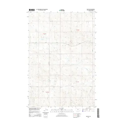
2015 Map of Ralph SW
USGS Topo · Published 2015About this map
Big Nasty Cr and its many intermittent tributaries carve through this section of Harding County, defining the drainage patterns of the high plains. The landscape is marked by a network of rural routes named for local figures or destinations, such as Hungerford Rd, Glen Levitt Rd, and Norbeck Rd. These roads often follow the section lines of the Public Land Survey System, which divides the region into townships like t22n r8e and t21n r7e.
Find a feature on this map
16 named features on this map. Tap any name to fly to it.
Don’t see what you’re looking for? This feature index may not catch every label — zoom into the map to look around manually.
Map Details
Editions of this 2015 Ralph SW Map
This is the sole edition of this map. No revisions or reprints were ever made.
Other maps of this area

1935 · Reva
USGS Topo · 1:125,000

1954 · Lemmon
USGS Topo · 1:250,000

1957 · Lemmon
USGS Topo · 1:250,000

1968 · Ralph SW
USGS Topo · 1:24,000

1968 · Haley
USGS Topo · 1:24,000

1968 · Bowman-Haley Dam
USGS Topo · 1:24,000

1968 · Tepee Buttes
USGS Topo · 1:24,000

1968 · Ludlow SE
USGS Topo · 1:24,000

1968 · Ralph
USGS Topo · 1:24,000

1969 · Reva NW
USGS Topo · 1:24,000