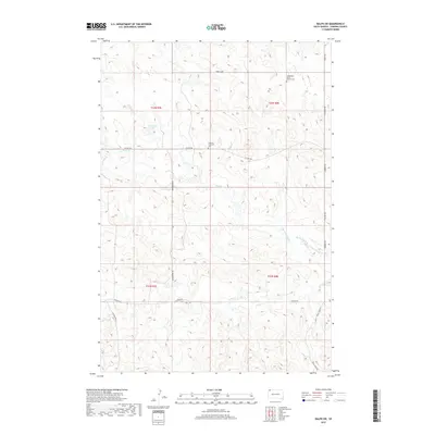
2017 Map of Ralph SW
USGS Topo · Published 2017About this map
Lodgepole Butte stands as a prominent landmark in this corner of Harding County, anchoring a landscape defined by the drainage of Big Nasty Creek and Lens Cr. The area is marked by its quiet, rural infrastructure, where local history is preserved at the Lodgepole Butte Baptist Cem and Emanuel Lutheran Cem. These sites, along with isolated water features like Scarsland Lake, reflect the persistent settlement patterns of northwestern South Dakota. A network of section-line roads, including Hungerford Rd and Vessey Rd, provides the primary framework for the township and range divisions of t22n r7e and t22n r8e. The topography is characterized by intricate drainage systems such as Coal Bank Cr, which weave between the low rises and buttes that characterize this high plains environment.
Find a feature on this map
23 named features on this map. Tap any name to fly to it.
Don’t see what you’re looking for? This feature index may not catch every label — zoom into the map to look around manually.
Map Details
Editions of this 2017 Ralph SW Map
This is the sole edition of this map. No revisions or reprints were ever made.
Other maps of this area

1935 · Reva
USGS Topo · 1:125,000

1954 · Lemmon
USGS Topo · 1:250,000

1957 · Lemmon
USGS Topo · 1:250,000

1968 · Ralph SW
USGS Topo · 1:24,000

1968 · Haley
USGS Topo · 1:24,000

1968 · Bowman-Haley Dam
USGS Topo · 1:24,000

1968 · Tepee Buttes
USGS Topo · 1:24,000

1968 · Ludlow SE
USGS Topo · 1:24,000

1968 · Ralph
USGS Topo · 1:24,000

1969 · Reva NW
USGS Topo · 1:24,000