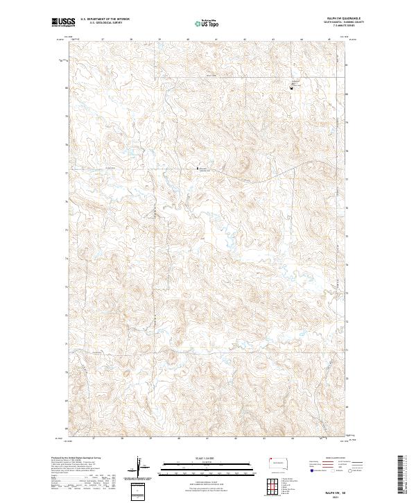
2021 Map of Ralph SW
USGS Topo · Published 2021About this map
Lodgepole Butte Baptist Cem and Emanuel Lutheran Cem anchor this rural landscape in Harding County, serving as vital landmarks for genealogists and local historians. This corner of South Dakota is defined by a dendritic drainage pattern where Lems Cr, Coal Bank Cr, and the appropriately named Big Nasty Cr carve through the high plains. The water from these seasonal streams eventually collects in Scarsland Lake, one of the few standing water bodies in the area.
Find a feature on this map
22 named features on this map. Tap any name to fly to it.
Don’t see what you’re looking for? This feature index may not catch every label — zoom into the map to look around manually.
Map Details
Editions of this 2021 Ralph SW Map
This is the sole edition of this map. No revisions or reprints were ever made.
Other maps of this area

1935 · Reva
USGS Topo · 1:125,000

1954 · Lemmon
USGS Topo · 1:250,000

1957 · Lemmon
USGS Topo · 1:250,000

1968 · Ralph SW
USGS Topo · 1:24,000

1968 · Haley
USGS Topo · 1:24,000

1968 · Bowman-Haley Dam
USGS Topo · 1:24,000

1968 · Tepee Buttes
USGS Topo · 1:24,000

1968 · Ludlow SE
USGS Topo · 1:24,000

1968 · Ralph
USGS Topo · 1:24,000

1969 · Reva NW
USGS Topo · 1:24,000