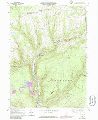
1969 Map of Ralston
USGS Topo · Published 1986About this map
Lycoming Creek carves a deep valley through the high plateaus of northern Pennsylvania, anchoring the settlements of Ralston and Roaring Branch along its banks. This 1969 field-checked survey reveals a landscape where transportation and industry follow the water, with railroad lines—some already marked Abandoned by the late 20th century—hugging the narrow valley floor. The upland terrain is dominated by the Tiadaghton State Forest, covering vast reaches like Mc Intyre Mountain and Sullivan Mountain.
Find a feature on this map
45 named features on this map. Tap any name to fly to it.
Don’t see what you’re looking for? This feature index may not catch every label — zoom into the map to look around manually.
Map Details
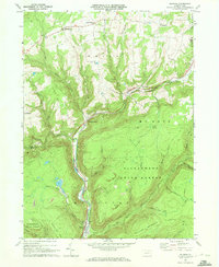
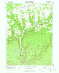
Editions of this 1969 Ralston Map
3 editions found
Other maps of this area

1921 · Trout Run
USGS Topo · 1:62,500

1923 · Trout Run
USGS Topo · 1:62,500

1925 · Blossburg
USGS Topo · 1:62,500

1927 · Blossburg
USGS Topo · 1:62,500

1930 · Warrensville
USGS Topo · 1:62,500

1934 · Warrensville
USGS Topo · 1:62,500

1942 · Canton
USGS Topo · 1:62,500

1944 · Blossburg
USGS Topo · 1:62,500

1944 · Trout Run
USGS Topo · 1:62,500

1944 · Canton
USGS Topo · 1:62,500
Featured Places
- Leolyn, McNett Township
- Union Township, PA
- Canton Township, PA
- Union Center, Union Township
- Roaring Branch, Union Township