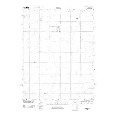
2009 Map of Ramona
USGS Topo · Published 2009About this map
Ramona and the surrounding agricultural landscape of Marion County are defined by a meticulous grid of rural roads and the drainage patterns of Lyon Creek. The town itself is organized around a core of numbered streets such as 1st St and 4th St, with the Lewis Cemetery located on its southern edge. This 2009 survey highlights a persistent settlement pattern where small communities like Jacobs persist alongside larger watercourses like Cress Creek and East Turkey Creek. The inclusion of family or local landmarks such as Mohn Cemetery in the southwest and names like Old Mill Rd suggests the historical importance of early milling and pioneer-era burial sites within this prairie environment.
Find a feature on this map
33 named features on this map. Tap any name to fly to it.
Don’t see what you’re looking for? This feature index may not catch every label — zoom into the map to look around manually.
Map Details
Editions of this 2009 Ramona Map
This is the sole edition of this map. No revisions or reprints were ever made.
Other maps of this area

1889 · Newton
USGS Topo · 1:125,000

1889 · Abilene
USGS Topo · 1:125,000

1889 · Parkerville
USGS Topo · 1:125,000

1894 · Newton
USGS Topo · 1:125,000

1894 · Abilene
USGS Topo · 1:125,000

1894 · Parkerville
USGS Topo · 1:125,000

1898 · Cottonwood Falls
USGS Topo · 1:125,000

1955 · Hutchinson
USGS Topo · 1:250,000

1959 · Hutchinson
USGS Topo · 1:250,000

1964 · Elmo
USGS Topo · 1:24,000