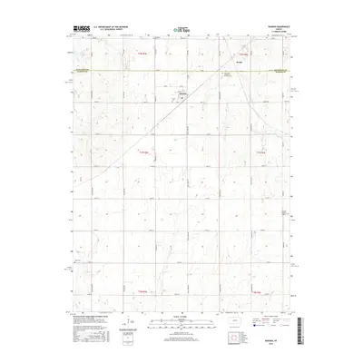
2015 Map of Ramona
USGS Topo · Published 2015About this map
Ramona sits at the intersection of a grid-iron road network and a diagonal rail line, serving as a primary settlement in this section of Marion County. The landscape is defined by the headwaters of numerous creeks, including Lyon Cr and Lost Spring, which carve subtle drainage patterns through the agricultural plains. Significant genealogical landmarks are distributed across the township lines, notably the Saint Pauls Evangelical Lutheran Cem and the Lewis Cem just south of the main townsite. The boundary between Dickinson and Marion counties cuts across the northern third of the map, passing through the locality of Jacobs. Further south, the Mohn Cem and the Flying N Ranch Airport indicate the dual legacy of pioneer settlement and modern rural aviation that characterizes this central Kansas region.
Find a feature on this map
47 named features on this map. Tap any name to fly to it.
Don’t see what you’re looking for? This feature index may not catch every label — zoom into the map to look around manually.
Map Details
Editions of this 2015 Ramona Map
This is the sole edition of this map. No revisions or reprints were ever made.
Other maps of this area

1889 · Newton
USGS Topo · 1:125,000

1889 · Abilene
USGS Topo · 1:125,000

1889 · Parkerville
USGS Topo · 1:125,000

1894 · Newton
USGS Topo · 1:125,000

1894 · Abilene
USGS Topo · 1:125,000

1894 · Parkerville
USGS Topo · 1:125,000

1898 · Cottonwood Falls
USGS Topo · 1:125,000

1955 · Hutchinson
USGS Topo · 1:250,000

1959 · Hutchinson
USGS Topo · 1:250,000

1964 · Elmo
USGS Topo · 1:24,000