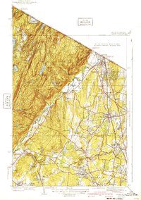
1940 Map of Ramsey
USGS Topo · Published 1940About this map
Campgaw Mountain and the surrounding ridgelines of the New York-New Jersey border dominate this 1940 edition, showing the transition from the wooded Ramapo Mountains to the burgeoning suburbs of Bergen County. The Erie railroad corridor serves as the primary spine for development, linking established communities like Ramsey and Mahwah. Between the hills, the Ramapo River snakes through the valley, while the uplands are dotted with early 20th-century institutions such as the Immaculate Conception Seminary and the Don Bosco Institute.
Find a feature on this map
69 named features on this map. Tap any name to fly to it.
Don’t see what you’re looking for? This feature index may not catch every label — zoom into the map to look around manually.
Map Details
Editions of this 1940 Ramsey Map
2 editions found
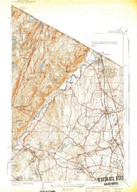
Other maps of this area

1888 · Morristown
USGS Topo · 1:62,500

1888 · Paterson
USGS Topo · 1:62,500

1891 · Greenwood Lake
USGS Topo · 1:62,500

1891 · Ramapo
USGS Topo · 1:62,500

1892 · Paterson
USGS Topo · 1:62,500

1893 · Greenwood Lake
USGS Topo · 1:62,500

1893 · Ramapo
USGS Topo · 1:62,500

1894 · Morristown
USGS Topo · 1:62,500

1898 · Morristown
USGS Topo · 1:62,500

1898 · Paterson
USGS Topo · 1:62,500