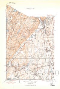
1943 Map of Ramsey
USGS Topo · Published 1953About this map
Ramapo River valleys and the surrounding peaks of Campgaw Mountain and Houvenkopf Mtn define this region of northern New Jersey and southern New York during the mid-1940s. The Erie Railroad corridor serves as the primary spine for development, linking the established boroughs of Ramsey, Mahwah, and Allendale. This period shows a landscape in transition, where institutional grounds like the Immaculate Conception Seminary and Don Bosco Institute sit alongside recreational sites such as the Houvenkopf Country Club and numerous scouting retreats including Camp Yaw-Paw and Glen Gray Camp. To the west, the more difficult terrain remains dominated by water bodies like Bear Swamp Lake and Cupsaw Lake, while the eastern plains show the emerging residential patterns of Suffern Park and Cragmere Park. The map documents the intricate network of reservoirs, such as MacMillan Reservoir and Havemeyer Reservoir, which were essential to the area's growing suburban infrastructure.
Find a feature on this map
95 named features on this map. Tap any name to fly to it.
Don’t see what you’re looking for? This feature index may not catch every label — zoom into the map to look around manually.
Map Details
Editions of this 1943 Ramsey Map
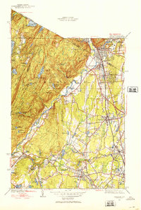
2 editions found
Other maps of this area

1888 · Morristown
USGS Topo · 1:62,500

1888 · Paterson
USGS Topo · 1:62,500

1891 · Greenwood Lake
USGS Topo · 1:62,500

1891 · Ramapo
USGS Topo · 1:62,500

1892 · Paterson
USGS Topo · 1:62,500

1893 · Greenwood Lake
USGS Topo · 1:62,500

1893 · Ramapo
USGS Topo · 1:62,500

1894 · Morristown
USGS Topo · 1:62,500

1898 · Morristown
USGS Topo · 1:62,500

1898 · Paterson
USGS Topo · 1:62,500