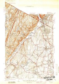
1945 Map of Ramsey
USGS Topo · Published 1945About this map
The Ramapo Mountains dominate the northwestern landscape of this 1945 survey, forming a dramatic backdrop for the growing communities of Ramsey, Mahwah, and Suffern. The valley floor is defined by the Ramapo River and the critical transportation corridor of the Erie RR and Franklin Turnpike, which facilitated the development of suburban enclaves like Cragmere Park and Suffern Park. Religious and educational institutions occupy significant tracts of land, including the Immaculate Conception Seminary and the Don Bosco Institute.
Find a feature on this map
80 named features on this map. Tap any name to fly to it.
Don’t see what you’re looking for? This feature index may not catch every label — zoom into the map to look around manually.
Map Details
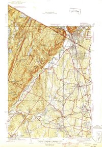
Editions of this 1945 Ramsey Map
2 editions found
Other maps of this area

1888 · Morristown
USGS Topo · 1:62,500

1888 · Paterson
USGS Topo · 1:62,500

1891 · Greenwood Lake
USGS Topo · 1:62,500

1891 · Ramapo
USGS Topo · 1:62,500

1892 · Paterson
USGS Topo · 1:62,500

1893 · Greenwood Lake
USGS Topo · 1:62,500

1893 · Ramapo
USGS Topo · 1:62,500

1894 · Morristown
USGS Topo · 1:62,500

1898 · Morristown
USGS Topo · 1:62,500

1898 · Paterson
USGS Topo · 1:62,500