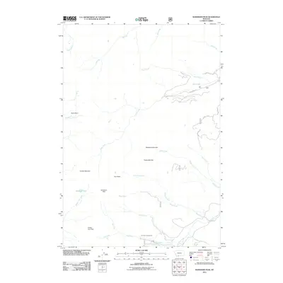
2011 Map of Ramshorn Peak
USGS Topo · Published 2011About this map
Ramshorn Peak and the high elevations of the Gallatin Range dominate this landscape, recorded here in the early twenty-first century. The map provides a detailed view of the drainages and summits defining this region, including Steamboat Mountain, Packsaddle Peak, and the distinct Twin Peaks. Waterways like Rock Creek and Tom Miner Creek carve through the terrain, with Ramshorn Lake situated just below the primary summit. Human activity is concentrated along primitive routes such as Rock Creek Rd and Divide Creek Rd, leading to remote access points like the Tom Miner Campground. The geography captured here by the U.S. Geological Survey illustrates a sparsely populated high-altitude environment characterized by significant passes like Buffalo Horn Pass and the broad Onion Basin.
Find a feature on this map
30 named features on this map. Tap any name to fly to it.
Don’t see what you’re looking for? This feature index may not catch every label — zoom into the map to look around manually.
Map Details
Editions of this 2011 Ramshorn Peak Map
This is the sole edition of this map. No revisions or reprints were ever made.
Other maps of this area

1888 · Three Forks
USGS Topo · 1:250,000

1891 · Livingston
USGS Topo · 1:250,000

1893 · Livingston
USGS Topo · 1:250,000

1894 · Three Forks
USGS Topo · 1:250,000

1895 · Three Forks
USGS Topo · 1:250,000

1947 · Bozeman
USGS Topo · 1:250,000

1948 · Bozeman
USGS Topo · 1:250,000

1955 · Bozeman
USGS Topo · 1:250,000

1955 · Garnet Mountain
USGS Topo · 1:62,500

1955 · Fridley Peak
USGS Topo · 1:62,500