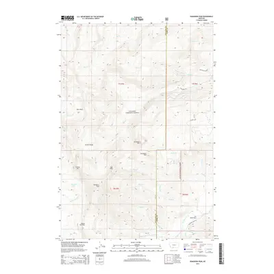
2014 Map of Ramshorn Peak
USGS Topo · Published 2014About this map
Ramshorn Peak and the surrounding high country of the Gallatin Range dominate this 2014 survey of the borderlands between Gallatin County and Park County. Situated within the Gallatin National Forest, the landscape is defined by its dramatic relief and alpine hydrology. High-elevation water bodies like Lake Elsie and Ramshorn Lake feed a complex drainage network, including Big Creek and Steele Creek in the north, while the southern slopes descend toward Tom Miner Basin via Tom Miner Creek. The map documents a wilderness area where accessibility is limited to specific corridors like Tom Miner Creek Road and the Rock Creek Road. Prominent summits such as Packsaddle Peak, Steamboat Mountain, and the Twin Peaks serve as significant landmarks for those navigating these forest lands.
Find a feature on this map
39 named features on this map. Tap any name to fly to it.
Don’t see what you’re looking for? This feature index may not catch every label — zoom into the map to look around manually.
Map Details
Editions of this 2014 Ramshorn Peak Map
This is the sole edition of this map. No revisions or reprints were ever made.
Other maps of this area

1888 · Three Forks
USGS Topo · 1:250,000

1891 · Livingston
USGS Topo · 1:250,000

1893 · Livingston
USGS Topo · 1:250,000

1894 · Three Forks
USGS Topo · 1:250,000

1895 · Three Forks
USGS Topo · 1:250,000

1947 · Bozeman
USGS Topo · 1:250,000

1948 · Bozeman
USGS Topo · 1:250,000

1955 · Bozeman
USGS Topo · 1:250,000

1955 · Garnet Mountain
USGS Topo · 1:62,500

1955 · Fridley Peak
USGS Topo · 1:62,500