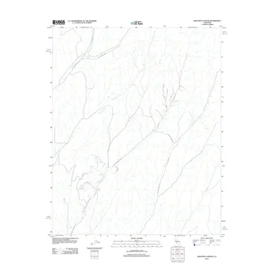
2012 Map of Ranchito Canyon
USGS Topo · Published 2012About this map
The San Jacinto Cr drainage system carves through the central portion of this Monterey County landscape, shaping a network of canyons and ridges defined by a grid-like road system. Toward the northern boundary, the Middle Fork converges with local topography near Vineyard Canyon Rd, reflecting the remote and agrarian character of this region during the early twenty-first century.
Find a feature on this map
13 named features on this map. Tap any name to fly to it.
Don’t see what you’re looking for? This feature index may not catch every label — zoom into the map to look around manually.
Map Details
Editions of this 2012 Ranchito Canyon Map
This is the sole edition of this map. No revisions or reprints were ever made.
Other maps of this area

1914 · Cholame
USGS Topo · 1:125,000

1915 · Cholame
USGS Topo · 1:125,000

1917 · Cholame
USGS Topo · 1:125,000

1919 · San Miguel
USGS Topo · 1:62,500

1919 · Paso Robles
USGS Topo · 1:62,500

1942 · Parkfield
USGS Topo · 1:24,000

1943 · Shandon
USGS Topo · 1:31,680

1943 · Paso Robles
USGS Topo · 1:62,500
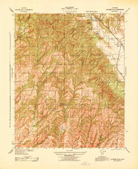
1943 · Cholame Hills
USGS Topo · 1:31,680
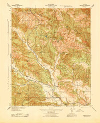
1943 · Parkfield
USGS Topo · 1:31,680