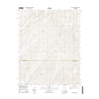
2015 Map of Ranchito Canyon
USGS Topo · Published 2015About this map
Ranchito Canyon and Hog Canyon define the landscape of this Central Coast interior, where the high ridges of Monterey County meet the northern edge of San Luis Obispo County. The terrain is deeply incised by drainages such as San Jacinto Cr and the Middle Fork, which carve through the hills in a complex network of canyons. The road system follows these natural contours, with Ranchita Canyon Rd and Vineyard Canyon Rd serving as the primary arteries for this remote agricultural and ranching region. Smaller spurs like Watkins Ln, Barker Rd, and Douglas Rd indicate the scattered settlement pattern typical of the California Coast Ranges. To the southeast, Keyes Canyon and Mason Canyon further demonstrate the rugged topography that has historically shaped the transit and land use of this rural borderland.
Find a feature on this map
24 named features on this map. Tap any name to fly to it.
Don’t see what you’re looking for? This feature index may not catch every label — zoom into the map to look around manually.
Map Details
Editions of this 2015 Ranchito Canyon Map
This is the sole edition of this map. No revisions or reprints were ever made.
Other maps of this area

1914 · Cholame
USGS Topo · 1:125,000

1915 · Cholame
USGS Topo · 1:125,000

1917 · Cholame
USGS Topo · 1:125,000

1919 · San Miguel
USGS Topo · 1:62,500

1919 · Paso Robles
USGS Topo · 1:62,500

1942 · Parkfield
USGS Topo · 1:24,000

1943 · Shandon
USGS Topo · 1:31,680

1943 · Paso Robles
USGS Topo · 1:62,500
1943 · Cholame Hills
USGS Topo · 1:31,680
1943 · Parkfield
USGS Topo · 1:31,680