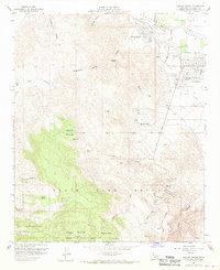
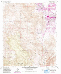
1957 Map of Rancho Mirage
USGS Topo · Published 1970About this map
Rancho Mirage and Palm Desert appear in the mid-1950s as developing desert communities along the edge of the Whitewater River. The landscape is defined by the sharp transition from the valley floor to the high peaks of the Santa Rosa Mountains, including Haystack Mountain and Asbestos Mountain. While the residential grid expands near El Paseo and Shadow Mountain Dr, much of the quadrangle remains undeveloped mountain terrain protected by the Game Refuge Boundary and the San Bernardino National Forest. A local Landing Field and the Palms to Pines Highway provide critical transit links through this arid environment. Significant water sources and drainages like Magnesia Spring, Cat Creek, and Deep Canyon reveal the complex hydrology required to sustain life in the desert long before the dense modern sprawl.
Find a feature on this map
37 named features on this map. Tap any name to fly to it.
Don’t see what you’re looking for? This feature index may not catch every label — zoom into the map to look around manually.
Map Details
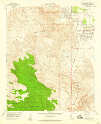
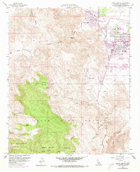
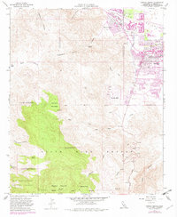
Editions of this 1957 Rancho Mirage Map
5 editions found
Other maps of this area

1901 · Southern California Sheet No. 1
USGS Topo · 1:250,000

1901 · San Jacinto
USGS Topo · 1:125,000

1904 · Indio
USGS Topo · 1:125,000

1904 · Southern California Sheet No. 1
USGS Topo · 1:250,000

1940 · Palm Springs
USGS Topo · 1:62,500

1940 · Hemet Reservoir
USGS Topo · 1:62,500

1941 · Toro Peak
USGS Topo · 1:62,500

1941 · Edom
USGS Topo · 1:62,500

1942 · Hemet Reservoir
USGS Topo · 1:62,500

1944 · Toro peak
USGS Topo · 1:62,500