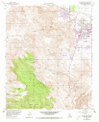
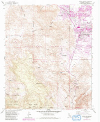
1957 Map of Rancho Mirage
USGS Topo · Published 1973About this map
Rancho Mirage and Palm Desert occupy the desert floor as expanding mid-century settlements, positioned where the valley floor meets the steep ascent of the Santa Rosa Mountains. This survey reveals a landscape of rapid transition, where the planned streets of the College Of The Desert and local golf courses contrast sharply with the untamed canyons of the San Bernardino National Forest to the south. The arid hydrology of the region is traced through the Whitewater River course and a series of rugged drainages like Cat Creek, Dead Indian Creek, and Ebbens Creek.
Find a feature on this map
26 named features on this map. Tap any name to fly to it.
Don’t see what you’re looking for? This feature index may not catch every label — zoom into the map to look around manually.
Map Details
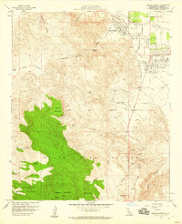
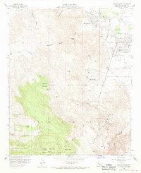
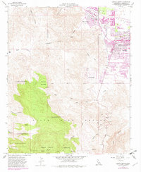
Editions of this 1957 Rancho Mirage Map
5 editions found
Other maps of this area

1901 · Southern California Sheet No. 1
USGS Topo · 1:250,000

1901 · San Jacinto
USGS Topo · 1:125,000

1904 · Indio
USGS Topo · 1:125,000

1904 · Southern California Sheet No. 1
USGS Topo · 1:250,000

1940 · Palm Springs
USGS Topo · 1:62,500

1940 · Hemet Reservoir
USGS Topo · 1:62,500

1941 · Toro Peak
USGS Topo · 1:62,500

1941 · Edom
USGS Topo · 1:62,500

1942 · Hemet Reservoir
USGS Topo · 1:62,500

1944 · Toro peak
USGS Topo · 1:62,500