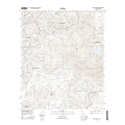
2015 Map of Rancho Santa Fe
USGS Topo · Published 2015About this map
Rancho Santa Fe and the surrounding coastal hills of northern San Diego County appear here as a sophisticated network of winding estate roads and agricultural history. This survey illustrates the intricate water management system essential to the region, including the San Dieguito Reservoir and the Second San Dieguito Aqueduct, which support the communities of Olivenhain, Elfin Forest, and Harmony Grove. The landscape is defined by its dramatic relief, from the coastal plains at Solana Beach and Encinitas to the prominent heights of Double Peak and Mt Whitney.
Find a feature on this map
48 named features on this map. Tap any name to fly to it.
Don’t see what you’re looking for? This feature index may not catch every label — zoom into the map to look around manually.
Map Details
Editions of this 2015 Rancho Santa Fe Map
This is the sole edition of this map. No revisions or reprints were ever made.
Other maps of this area

1893 · Oceanside
USGS Topo · 1:62,500

1893 · Escondido
USGS Topo · 1:62,500

1898 · Oceanside
USGS Topo · 1:62,500

1901 · Escondido
USGS Topo · 1:62,500

1901 · Oceanside
USGS Topo · 1:62,500

1901 · San Luis Rey
USGS Topo · 1:125,000

1903 · La Jolla
USGS Topo · 1:62,500

1904 · Southern California Sheet No. 2
USGS Topo · 1:250,000

1930 · La Jolla
USGS Topo · 1:62,500

1942 · Poway Valley
USGS Topo · 1:31,680