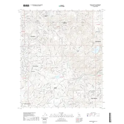
2018 Map of Rancho Santa Fe
USGS Topo · Published 2018About this map
Rancho Santa Fe and the surrounding inland communities of North County San Diego are defined by a mix of historic estates, modern suburban growth, and protected open space. The terrain is marked by coastal ridges and valleys, including Cerro de las Posas and Double Peak, while water management is visible through features like the Second San Diego Aqueduct and the San Dieguito Reservoir.
Find a feature on this map
43 named features on this map. Tap any name to fly to it.
Don’t see what you’re looking for? This feature index may not catch every label — zoom into the map to look around manually.
Map Details
Editions of this 2018 Rancho Santa Fe Map
This is the sole edition of this map. No revisions or reprints were ever made.
Other maps of this area

1893 · Oceanside
USGS Topo · 1:62,500

1893 · Escondido
USGS Topo · 1:62,500

1898 · Oceanside
USGS Topo · 1:62,500

1901 · Escondido
USGS Topo · 1:62,500

1901 · Oceanside
USGS Topo · 1:62,500

1901 · San Luis Rey
USGS Topo · 1:125,000

1903 · La Jolla
USGS Topo · 1:62,500

1904 · Southern California Sheet No. 2
USGS Topo · 1:250,000

1930 · La Jolla
USGS Topo · 1:62,500

1942 · Poway Valley
USGS Topo · 1:31,680