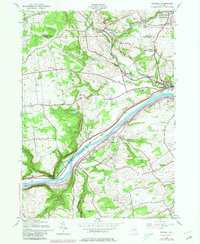
1944 Map of Randall
USGS Topo · Published 1980About this map
The Mohawk River and the parallel Erie Canal dominate this mid-century topographic view of Montgomery County, where the valley narrows significantly between the prominent landforms of Big Nose and Little Nose. This natural bottleneck has historically funneled transportation, as evidenced by the dense corridor of the Conrail line and the Toll Road skirting the riverbanks. The twins towns of Fonda and Fultonville serve as the primary hubs, connected across the water and bordered by the Tekakwitha Friary and several family-named landmarks. Outside the river valley, the landscape is dotted with smaller rural communities like Sammonsville and Berryville, along with numerous local school districts such as Nellis Center Sch and Winnie Sch, reflecting the established agricultural and social fabric of the Mohawk Valley before late-century suburbanization.
Find a feature on this map
40 named features on this map. Tap any name to fly to it.
Don’t see what you’re looking for? This feature index may not catch every label — zoom into the map to look around manually.
Map Details
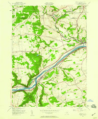
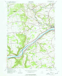
Editions of this 1944 Randall Map
3 editions found
Other maps of this area

1896 · Fonda
USGS Topo · 1:62,500

1898 · Fonda
USGS Topo · 1:62,500

1898 · Canajoharie
USGS Topo · 1:62,500

1900 · Canajoharie
USGS Topo · 1:62,500

1901 · Lassellsville
USGS Topo · 1:62,500

1902 · Canajoharie
USGS Topo · 1:62,500

1902 · Fonda
USGS Topo · 1:62,500

1903 · Gloversville
USGS Topo · 1:62,500

1903 · Lassellsville
USGS Topo · 1:62,500

1943 · Gloversville
USGS Topo · 1:62,500