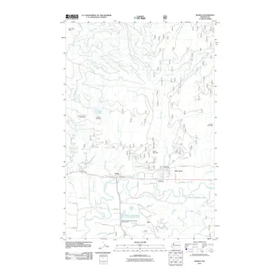
2011 Map of Randle
USGS Topo · Published 2011About this map
The Cowlitz River forms the central axis of this Lewis County landscape, where the valley floor transitions into the high ridges of the Cascades. The settlement of Randle serves as a local hub, flanked by smaller communities like Silver Brook and Siler. Significant timber industry footprints are visible through the Mount Adams Veneer Company Mill Pond and its associated dam, alongside the Stud Log Pond Dam. High-elevation landmarks define the surrounding terrain, including Watch Mountain with its Watch Mountain Lookout Tower and the prominent Harrington Rock to the northwest. Forested drainages like Silver Creek and Miller Creek feed into the main river system, while the Silver Creek Campground indicates the area's transition towards recreation and conservation. The map captures a moment of modern timber management and rural Pacific Northwest mountain life.
Find a feature on this map
48 named features on this map. Tap any name to fly to it.
Don’t see what you’re looking for? This feature index may not catch every label — zoom into the map to look around manually.
Map Details
Editions of this 2011 Randle Map
This is the sole edition of this map. No revisions or reprints were ever made.
Other maps of this area

1919 · Mount St Helens
USGS Topo · 1:125,000

1924 · Mt Rainier
USGS Topo · 1:96,000

1926 · Steamboat Mtn
USGS Topo · 1:125,000

1928 · Mt Rainier
USGS Topo · 1:125,000

1931 · Steamboat Mtn
USGS Topo · 1:125,000

1937 · Eatonville
USGS Topo · 1:125,000

1950 · Yakima
USGS Topo · 1:250,000

1953 · Hoquiam
USGS Topo · 1:250,000

1956 · Mineral
USGS Topo · 1:62,500

1957 · Hoquiam
USGS Topo · 1:250,000