
1926 Map of Randolph
USGS Topo · Published 1926About this map
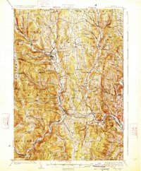
The White River and its multiple branches define the rugged topography of central Vermont in this mid-1920s survey. The landscape is characterized by a dense network of upland schools, such as the Old Stone School and Blaisdell School, serving isolated farming and quarrying communities. The Central Vermont Ry follows the river valleys, connecting the principal settlements of Bethel, Randolph, and South Royalton. Industrial activity is centered at the Bethel Granite Quarry, which utilized the area's natural stone resources.
Find a feature on this map
125 named features on this map. Tap any name to fly to it.
Don’t see what you’re looking for? This feature index may not catch every label — zoom into the map to look around manually.
Map Details
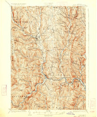
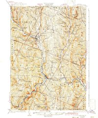
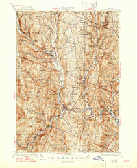
Editions of this 1926 Randolph Map
5 editions found
Other maps of this area

1891 · Rutland
USGS Topo · 1:62,500

1893 · Rutland
USGS Topo · 1:62,500

1896 · Strafford
USGS Topo · 1:62,500

1906 · Hanover
USGS Topo · 1:62,500

1908 · Hanover
USGS Topo · 1:62,500

1911 · Woodstock
USGS Topo · 1:62,500

1913 · Woodstock
USGS Topo · 1:62,500

1915 · Rochester
USGS Topo · 1:62,500

1917 · Rochester
USGS Topo · 1:62,500

1919 · Royalton
USGS Topo · 1:62,500